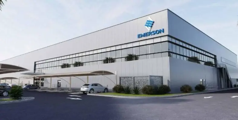
Emerson selected Saudi AMANA for its customised design-build and turnkey services. (Image source: Emerson)
Emerson, a global automation technology and software company, has selected Saudi AMANA to develop a manufacturing hub at the King Salman Energy Park (SPARK) in Saudi Arabia


